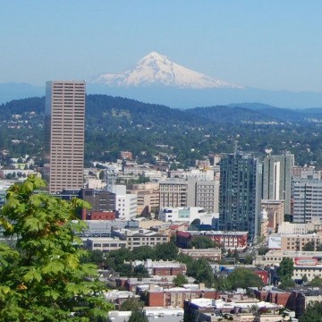
Portland’s Plans to Protect Residents Most Vulnerable to Heat Waves


Tuesday, June 30, 2015
“We do know that low-income populations and communities of color currently face greater health disparities – which will likely mean that the health impacts associated with increased heat (and related impacts to air quality) will be felt more acutely by many people in those communities,” said Michele Crim, sustainability manager for the City of Portland.
Heat-related illnesses are expected to rise as climate change continues to heat up.
Portland and Multnomah County sustainability planners want to know more about what factors cause that vulnerability so that better planning can help change that, said Crim. A new study with Portland State University faculty is currently underway, and it should help planners to better target resources.
While Multnomah County developed a heat vulnerability map based on census blocks, “We are working to get this information at a much finer scale in order to do a deeper analysis of the issues – including identifying where in the city those things line up (e.g. people most vulnerable to heat living in urban heat island ‘hot spots’),” said Crim.
The map below shows the areas in Portland with the highest numbers of residents most vulnerable to heat waves:
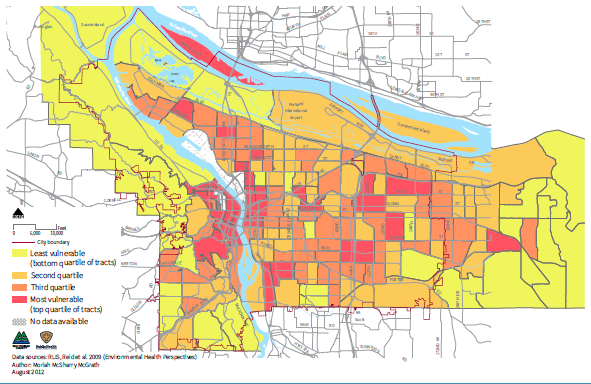
Portlanders most vulnerable to heat waves
The map below shows the most intense "heat islands" in Portland:
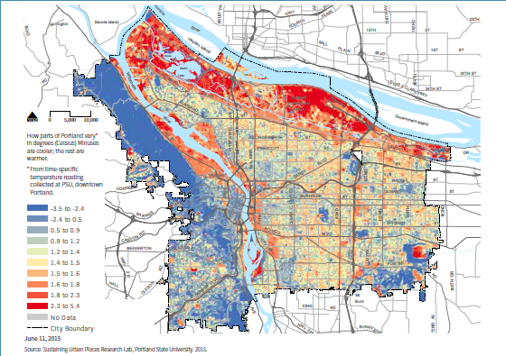
The hottest areas in Portland
Buildings and roadways warm a city causing the “urban heat island effect” in areas with the most infrastructure. Portland is an average of 4.8 degrees warmer than nearby rural areas, according to a Climate Central 2014 report. All that concrete and asphalt release heat slowly, meaning the overnight temperature difference between Portland and rural areas can differ as much as 8.9 degrees.
The report ranked Portland number four in the nation for having the hottest heat islands.
In the newly approved Climate Action Plan, which is the fourth and latest blueprint for reducing carbon emissions, the city and the county identified where the hottest urban heat islands in the city are and discovered that they line up with the areas where vulnerable populations are most likely to live.
The urban island effect is most felt in downtown, near major roadways like 82nd Avenue, Sandy Boulevard, Foster Road and Martin Luther King, Jr. Boulevard, as well as near industrial areas in central Eastside, Northwest and the Columbia River corridor.
Making matters worse, according to joint research efforts by Oregon Climate Institute at OSU and the Office of the Washington State Climatologist, heat waves have already begun to increase in the Pacific Northwest. A heat wave is defined as three consecutive days of temperatures higher than the 99th percentile of the historical maximum and minimum temperatures.
Last Saturday, Portland logged its seventh consecutive day of temperatures in the 90s, breaking a previous record made in 2003.
For the first time, the city and county carefully incorporated equity discussions into Climate Action Plan, acknowledging that communities of color and low-income populations will be more likely to be negatively impacted not only by heat waves but by many negative effects of climate change.
For example, during a heat wave, low-income residents are more likely to lack access to air conditioning.
They also are regular users of transit, meaning that they face more heat exposure as they walk to and from stops on hot days.
Additionally, communities of color have historically been exposed to higher amounts of toxins, according to an Oregon Department of Environmental Quality report completed in 2011. Higher smog, primarily composed of ozone, correlates with hotter temperatures, as does pollen counts, according to the Climate Action Plan.
Air quality issues could exacerbate asthma and allergies, which have higher rates in neighborhoods where people of color live.
Ultimately, hot days can cause heat exhaustion or heatstroke, which can result in death.
To ensure everyone stays cooler on hot days, the Climate Action Plan suggests a handful of actions. For starters, adding vegetation and planting trees in areas of the city with less tree canopy will increase access to shade. Ecoroofs could also lower the heat island effect.
Opening cooling centers that make sense for those most vulnerable, such as the elderly, is another strategy.
Local agencies also plan to ensure detention facilities have adequate cooling and improve response to heat by health community service professionals, public safety officers and emergency responders.
Crim said that accomplishing all of the actions will probably take between three and five years. “The actions are not prioritized beyond that in the plans themselves, however there is some logical sequencing to the actions,” she said.
Once results of the research and new mapping with PSU are known, the city can prioritize where to focus particular programs, she explained.
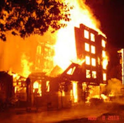
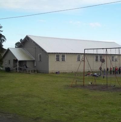
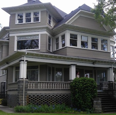
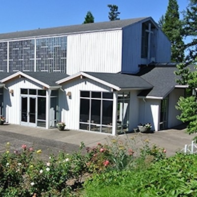
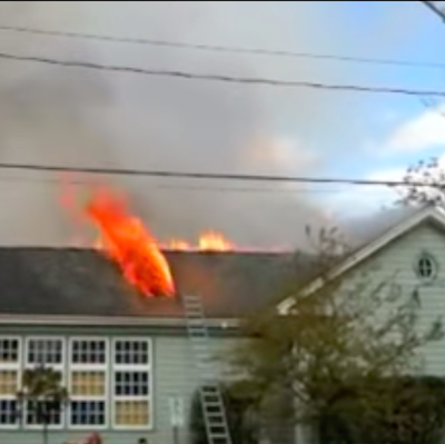
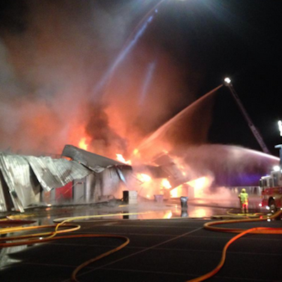
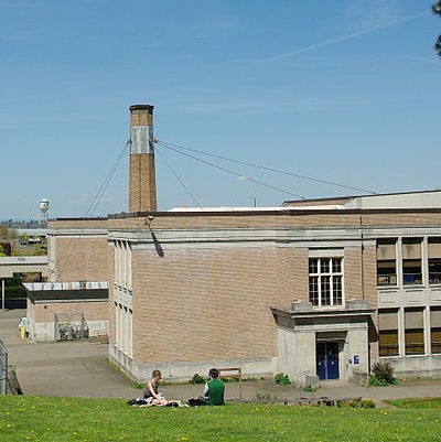
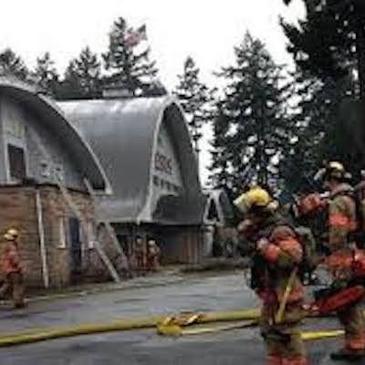
Related Slideshow: 10 Significant Portland Fires
A four-alarm fire ripped through South Albany High School Wednesday morning, causing more than $1 million in damage.
The community will spend the coming weeks and months recovering from the blaze -- but it's not the first time a fire has significantly impacted a Portland area school, church or neighborhood building.
Here are 10 significant fires to recently impact Portland area communities.


Related Articles
- Salem Fire Dept. Releases Fire Prevention and Hot Weather Safety Tips
- With Drought Looming, Oregon May Lose Wildfire Insurance
- Richardson Claims Kitzhaber’s Forest Management Policy Contributing to Fires


 Delivered Free Every
Follow us on Pinterest Google + Facebook Twitter See It Read It